
Sea Level Rise, Adaptation and Mitigation
The Town completed a Sea Level Rise and Public Facilities Asset Risk Adaptation Planning report in 2016. To follow are the report and its appendices:
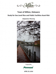
2016 Milton Sea Level Rise Report
Storm Surge Inundation Map – Category 1
Storm Surge Inundation Map – Category 2
Storm Surge Inundation Map – Category 3
Storm Surge Inundation Map – Category 4
Flood Risk Adaptation Map (FRAM)
LiDAR Digital Elevation Model (0-40 Range)
Within Fiscal Year 2022 and 2023 (October 2021 – September 2023), we will be expanding the 2016 Report by completing analysis of data on impacts to the Broadkill River and the watershed over the next decade through 2032.
- Phase 1 Report: Predictive Analysis Predictive Analysis Report – 1
- Phase 2 and 3 Report: Mitigation and Capital Planning Report – 2
Agency Links:
Delaware Flood Planning Tool
FEMA, The National Risk Index
FEMA, Flood Map Center
FloodFactor
New Jersey Example of Vulnerability Assessment
Sussex County Flood Risk and Planning Tools
FEMA flood insurance quote tool https://www.floodsmart.gov/policy-quote/
We welcome your comments and feedback on Milton’s Sea Level Rise Research and Planning. Please send your comments through the following link: Contact Us